Snow is set to hit parts of the South Island today.
The Canterbury high country and inland Otago are preparing for a significant snowfall expected to begin Friday morning, with warnings already issued.
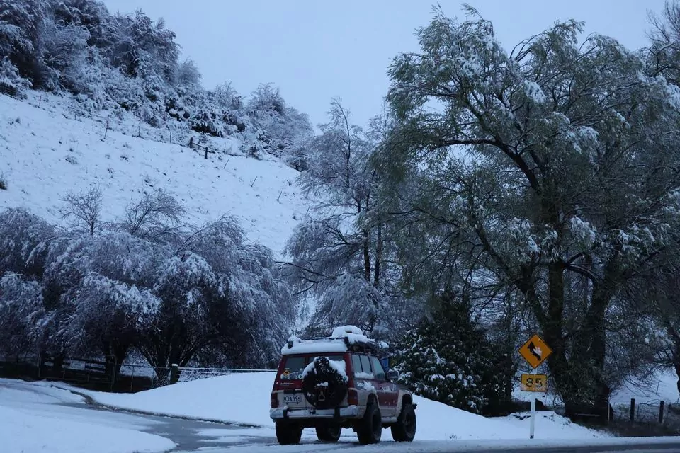
Photo: Dhariwal Harpreet
Forecasts predict up to 25cm of snow above 600m in Otago and as much as 20cm in Canterbury, south of the Rakaia River.
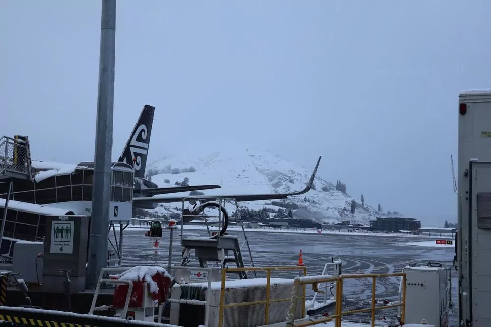
Queenstown woke up to snow on Friday, while heavy rain warnings are in effect for Westland until noon, and snow advisories remain active until 3pm.
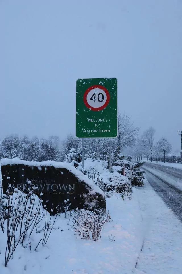
Photo: Dhariwal Harpreet
Snow has already been captured on Crown Range Rd and at Queenstown Airport, with cold air and a slow-moving front creating ideal conditions for it to continue accumulating throughout the day. Some areas could see up to 25cm of snow, especially in inland Otago.
Power outages have been reported in several Central Otago towns.
Alexandra saw 1100 homes affected, with further outages near Lauder, Cromwell, and Clyde, impacting hundreds of homes. Crews are currently working to restore electricity.
In Canterbury, snow is expected to fall on the foothills and higher areas, though it is anticipated to be more slushy than on the plains.
Snow to bring challenges for farmers and travellers across Canterbury
Blue Skies Weather & Climate Services Ltd said multiple snow events are expected between today and Tuesday, driven by a sustained period of very cold southwesterly airflow over the South Island. The snow will affect young stock on farms and may disrupt travel at times, particularly in higher-altitude areas.
For farmers, snow is currently falling to 400m in South Canterbury, bringing accumulations of 5-10cm. This is expected to spread to Mid Canterbury, above 500m later today, with 3-5cm accumulating by the evening. However, North Canterbury will likely remain snow-free. Snowfall will clear by tonight.
Another round of snow is forecast for late Sunday afternoon or evening, continuing through the night and into Monday morning. Farmers in areas above 400m should prepare for 5-10cm of snow, with 10-20cm possible above 500m. Conditions will dry out by Monday afternoon and evening.
On Tuesday morning, widespread snow flurries are expected down to sea level, with more persistent falls above 200m. Accumulations of 3-5cm are possible during the day, though lower levels may see little to no accumulation. Very cold temperatures and strong, gusty southwest winds will create significant wind chills. Banks Peninsula may experience near-gale force winds for a time, with snow clearing by Tuesday evening and heavy inland frosts likely by Wednesday morning.
Travellers should be prepared for disruptions, especially in the Tekapo area today. Snowfall on Sunday night will likely affect most mountain passes, with potential delays continuing into Monday morning. On Tuesday, some minor disruption is expected on the passes, but roads on Banks Peninsula and higher-level roads on the western Plains could also be affected by light snow, as well as parts of SH1 in North Canterbury. Strong southerly winds could disrupt Cook Strait ferry sailings on Tuesday.