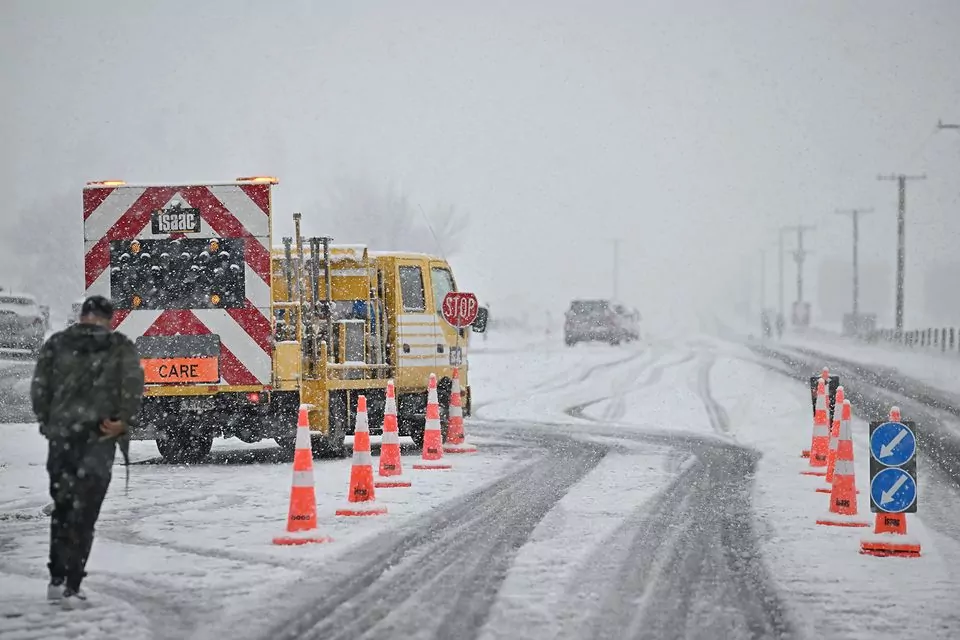
Blue Skies Weather & Climate Services has issued a snow forecast for the Canterbury Plains and High Country, warning of multiple snow events expected between tomorrow and Tuesday.
The cold, southwesterly airflow over the South Island is predicted to bring several snowfalls, affecting both farmers and travellers across the region.
For Farmers:
Saturday: Snow is forecast to lower to 500m in South Canterbury and 600m in Mid Canterbury, with accumulations between 3-5cm. Snow is unlikely for North Canterbury, and conditions are expected to clear after dark.
Sunday: Snow will develop across the region, lowering to 400m in the afternoon and reaching 300m in the evening before clearing overnight. Farmers in these areas should prepare for accumulations of 5-10cm above 400m, with 3-5cm possible down to 300m.
Monday Night/Tuesday Morning: Periods of snow are forecast to lower to 300m with 3-5cm of accumulation expected. Snow showers and flurries could approach sea level, with light accumulations under 2cm possible by mid-morning on Tuesday. Strong winds will lead to significant wind chills, with frosts expected Tuesday night.
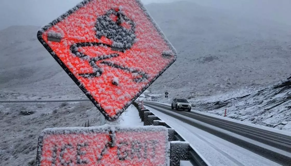
Snow warning / File
For Travellers:
Saturday: There may be some disruptions to mountain passes in the Tekapo area during the afternoon or evening.
Sunday: Disruptions are expected on most passes throughout the afternoon and evening.
Monday Night/Tuesday Morning: Minor disruptions are possible on mountain passes, and roads on Banks Peninsula and higher elevations in the western Plains could be affected by light snow.
Farmers and travellers are advised to prepare for these conditions and take necessary precautions.
