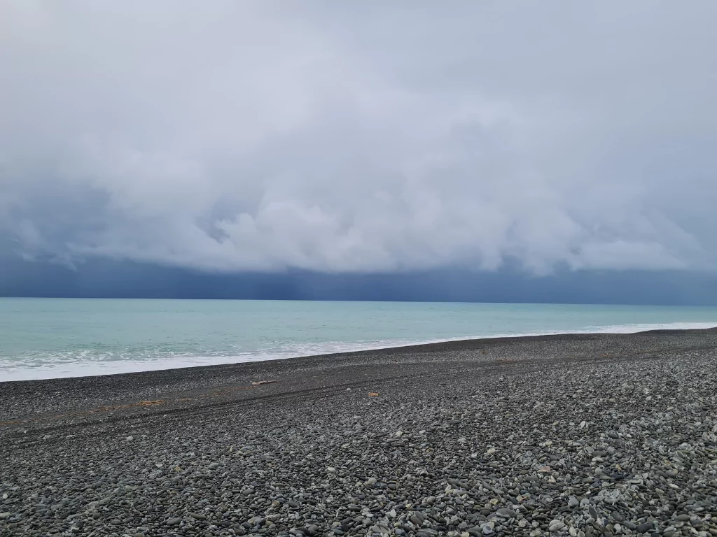
Forecaster Blue Skies Weather says a period of very cold air will arrive in Canterbury on Monday night and Tuesday next week, but with considerable variation between datasets as to how heavy and how low the snow will get.
For now, Blue Skies Weather says best to be prepared for a moderate event to mid levels, but this may ramp up or down as we get closer.
For farmers:
Expect snow accumulating above 400m from Monday evening through Tuesday afternoon inland, and through Tuesday night on Banks Peninsula. Accumulations of 5-10cm above 400m, and 10-20cm above 600m are possible. There is also a smaller risk of snow flurries as low as 200m, with accumulations of 1-3cm possible above this level.
For travellers:
Expect mountain passes around Canterbury to be affected by snow on Monday night and Tuesday, with some disruption likely.
There is a low risk of more widespread disruption to higher altitude roads on the eastern foothills and Banks Peninsula by Tuesday morning.
At this early stage, best to keep plans flexible.
