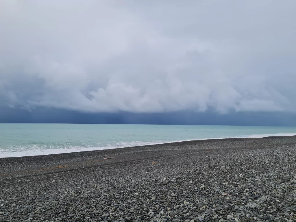
Christchurch and Banks Peninsula are expected to experience several days of wet weather, with heavy rain forecast to coincide with higher-than-normal tides.
The heaviest rainfall is expected across the western Port Hills and the southern parts of Banks Peninsula, with a long period of steady rain predicted across the wider district.
Christchurch City Council contractors have been preparing ahead of the downpour, clearing gutters, sumps, stormwater grates, and beach outfalls. The stormwater network is also being checked to ensure it is ready to manage the extra water.
Residents are being encouraged to clear their own gutters and drains where possible, and to remove any leaves blocking sumps near their properties, placing debris into green wheelie bins.
The Council is also actively managing water levels in the Ōpāwaho Heathcote River. Residents along the upper and mid-reaches of the river are advised to expect fluctuations in water levels before, during, and after the rain event, even during periods of dry weather, as part of efforts to reduce peak flood levels.
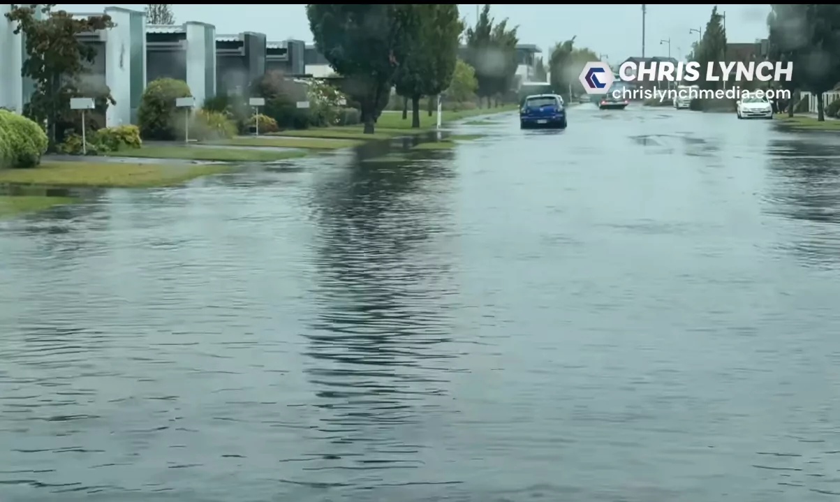
The city’s stormwater system is designed to cope with heavy rain, and the road network also plays a key role during wet weather. Council staff said it is normal to see some surface flooding on roads during intense rain, as many streets are designed to act as secondary flow paths for stormwater.
Staff and contractors will be on standby to respond to any issues as the rain event develops.
MetService has issued several weather warnings for the region:
-
Heavy Rain Warning (Orange):
A period of 38 hours of rain is expected from 4am Wednesday 30 April to 6pm Thursday 1 May. This affects Banks Peninsula and Canterbury north of Amberley.
Between 140 to 180mm of rain is expected, with peak rainfall rates of 10 to 20mm per hour expected on Wednesday evening and Thursday morning.
Snow is forecast to gradually lower to 700 metres by Wednesday night.
Streams and rivers may rise rapidly, with surface flooding, slips, and difficult driving conditions possible.
MetService said there is a moderate chance the warning could be upgraded to Red.
Residents are advised to clear drains and gutters and avoid low-lying areas.
-
Heavy Rain Watch:
A separate Heavy Rain Watch has been issued for Christchurch and Canterbury south of Amberley, not including Banks Peninsula, from 3am Wednesday to 6pm Thursday.
Rainfall amounts may approach warning criteria, and there is a moderate chance of this being upgraded.
-
Heavy Snow Watch:
A Heavy Snow Watch is in place for the Canterbury High Country south of the Rangitata River from 6pm Wednesday to 10am Thursday.
Periods of heavy snow are expected above 800 metres.
-
Road Snowfall Warnings:
-
Arthur’s Pass (SH73): Snow showers are forecast from 9pm Wednesday to 7am Thursday, with around 1cm expected to settle at times near the summit.
-
Porters Pass (SH73): Heavier snowfall is expected from 9pm Wednesday to 11am Thursday, with 10 to 15cm forecast near the summit, and lighter accumulations down to 800 metres.
-
-
Strong Wind Watch:
A Strong Wind Watch is in place for Buller, Grey, and Westland Districts, and the Nelson Lakes District from noon Wednesday to 3pm Thursday.
Southeast winds may approach severe gale strength in exposed areas.
MetService said updates to these warnings would be provided later tonight.
Residents are encouraged to stay informed, take precautions around waterways and on the roads, and follow advice from the National Emergency Management Agency.