Christchurch mouldy lunches investigation traced to meals left at school says investigation
A New Zealand Food Safety full investigation into the mouldy lunch scandal at Haeata Community...

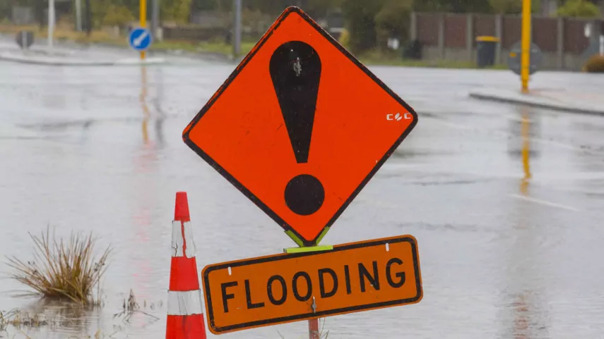
Southern District Police are urging drivers to take extra care and follow road closure signs after heavy rain caused flooding and snow trapped vehicles in parts of Otago.
High alpine passes in the Central Otago Lakes region have experienced significant snowfall today, impacting road conditions and travel.
This morning, police worked alongside NZTA to assist several vehicles that became trapped on the Lindis Pass (State Highway 8) due to heavy snowfall that led to the road being closed.
The pass has since reopened, but drivers are being urged to proceed with caution.
Senior Sergeant Blair Dalton reminded motorists to heed warnings, saying, “We’re urging people not to put themselves at risk. Police have noticed multiple vehicles drive around road closure signs and attempt to continue their journey. It’s not worth the risk, so for the safety of yourself, your passengers, other motorists, and emergency services, please follow and adhere to the road signage in place.”
Adding to the warnings, Otago Civil Defence and Emergency Management are urging people to avoid travel in the region altogether, due to heavy rain and rising river levels. “Unless you absolutely have to, please avoid travel in the region as many parts of Otago are affected by this event. Roads may close, and these will be signposted. However, rivers and streams can rise fast, and we don’t want anyone caught out by this,” Civil Defence said.

Areas of concern from Otago Regional Council (ORC) modelling show that people should be particularly cautious around the Silverstream at Gordon Rd, on the edge of Mosgiel township, Balclutha, and the Pomahaka and coastal communities near the Tokomairiro area.
Civil Defence also advised those with livestock or horses near waterways to move them to higher ground if safe to do so. “Stock should be moved to areas that will be easily accessible in case they need assistance, supplementary feed, or veterinary treatment. Please also be prepared with your pets in case the situation escalates.”
The Silverstream is forecast to peak above flood threshold at 120 cumecs, with limited spillover expected onto farmland near the Gordon St Bridge. The Leith and Lindsay rivers are expected to remain below flood thresholds, with peak flows expected around midnight and again tomorrow afternoon.
In South Otago, the Clutha River at Balclutha may reach a peak of 1900–2000 cumecs, slightly above the third flood warning. The Pomahaka and Tokomairiro rivers are also expected to rise to their third alarm levels, though no significant flooding is expected at this stage.
Dunedin City Council has activated its emergency operations centre, with Clutha and Waitaki District Councils actively monitoring the situation.
Clutha District Council has already closed several roads around the Milton area.
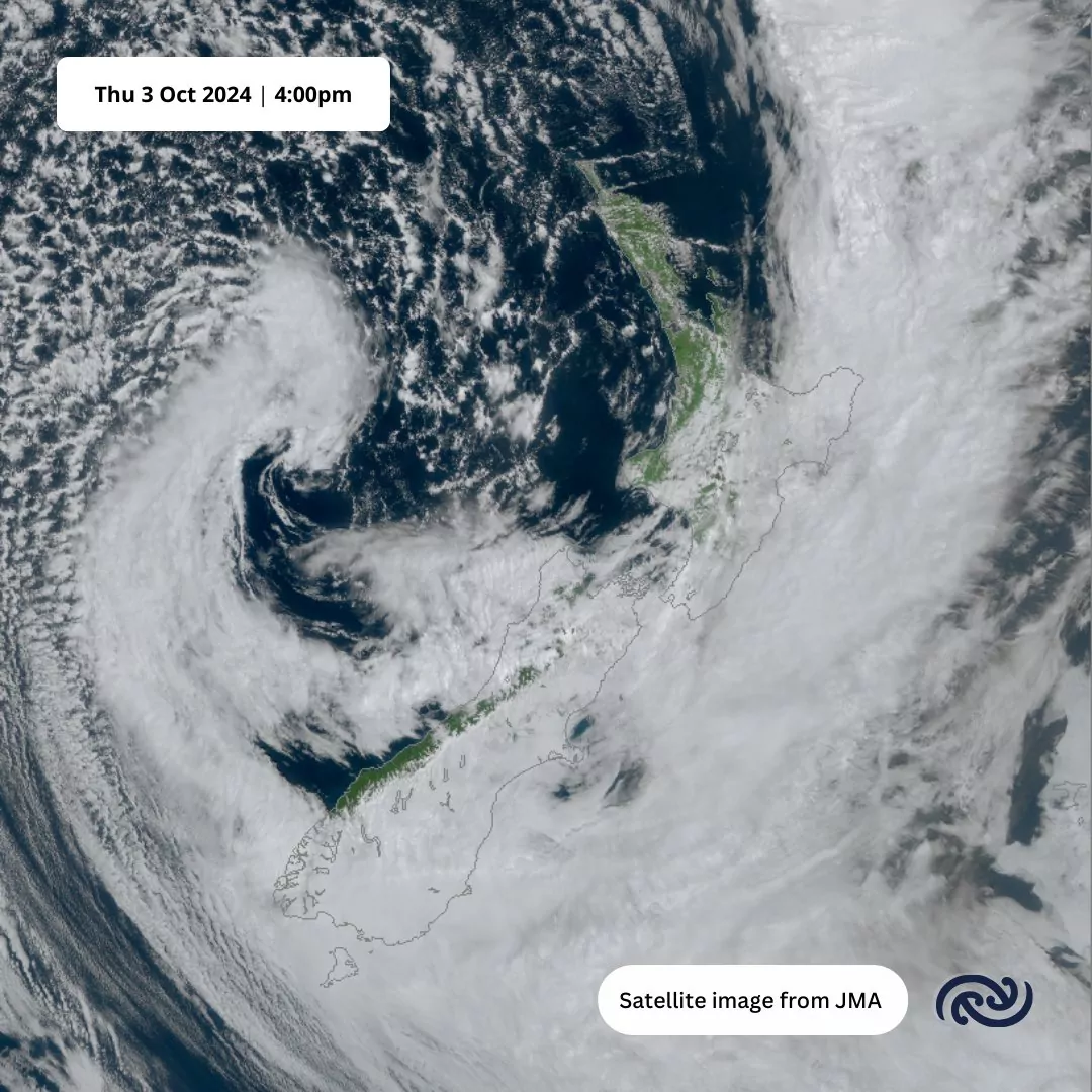
MetService issued a Red Severe Weather Warning for North Otago, Dunedin, and coastal Clutha from 11am today until 9pm Friday.
The region could see between 120 to 150 mm of rain, with the heaviest falls expected in the eastern hills.
“Keep away from low-lying flood-prone areas, do not drive through any floodwater, and act quickly to self-evacuate if you see rising water,” Civil Defence said. “We encourage people to keep up to date with weather forecasts and road conditions through NZTA and their local councils.”
In preparation for the ongoing weather event, ORC has extra contractors on standby, opened coastal river mouths, and activated pumps in flood-prone areas. ORC flood response crews are closely monitoring key rivers, including the Taieri, Silverstream, Leith Stream, Pomahaka, and Tokomairiro rivers.
Motorists are advised to stay off flooded roads and avoid crossing any fords or floodwaters.


