Snow is on the horizon for the Canterbury Plains and High Country, with light flurries possible this evening, followed by a more substantial risk of snow heading into the weekend.
Blue Skies Weather & Climate Services said farmers are being warned of potential challenges ahead, with brief snow flurries expected tonight down to 300 metres, though no significant accumulations are forecast at this stage.
The real concern lies in the coming days, as a cold southwesterly airflow is predicted to sweep through from Sunday to Tuesday.
This could bring snow down to mid and low levels on the hills, with the possibility of flurries reaching lower ground at times.
The colder conditions are likely to add stress for young stock, and more precise forecasts are expected by Thursday.
Travellers, for now, can breathe easy as no disruptions are expected today.
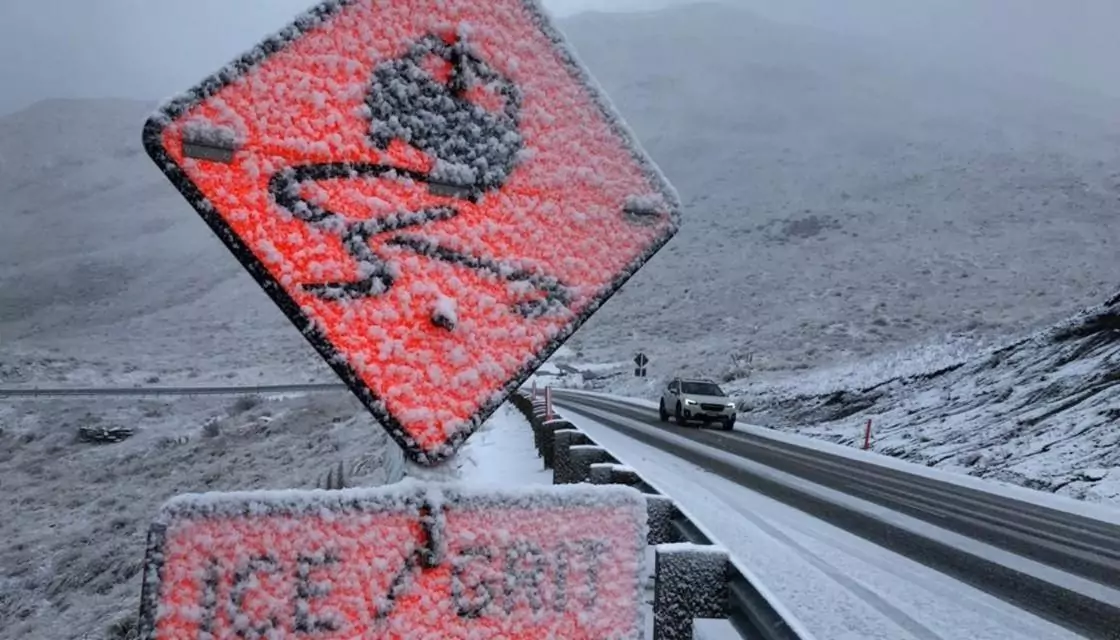
However, the situation may change by the weekend, with snow possibly affecting mountain passes and high-altitude roads, particularly on Sunday and Monday.
Drivers are encouraged to keep an eye on updates as conditions could become hazardous.