Photo: Unsplash
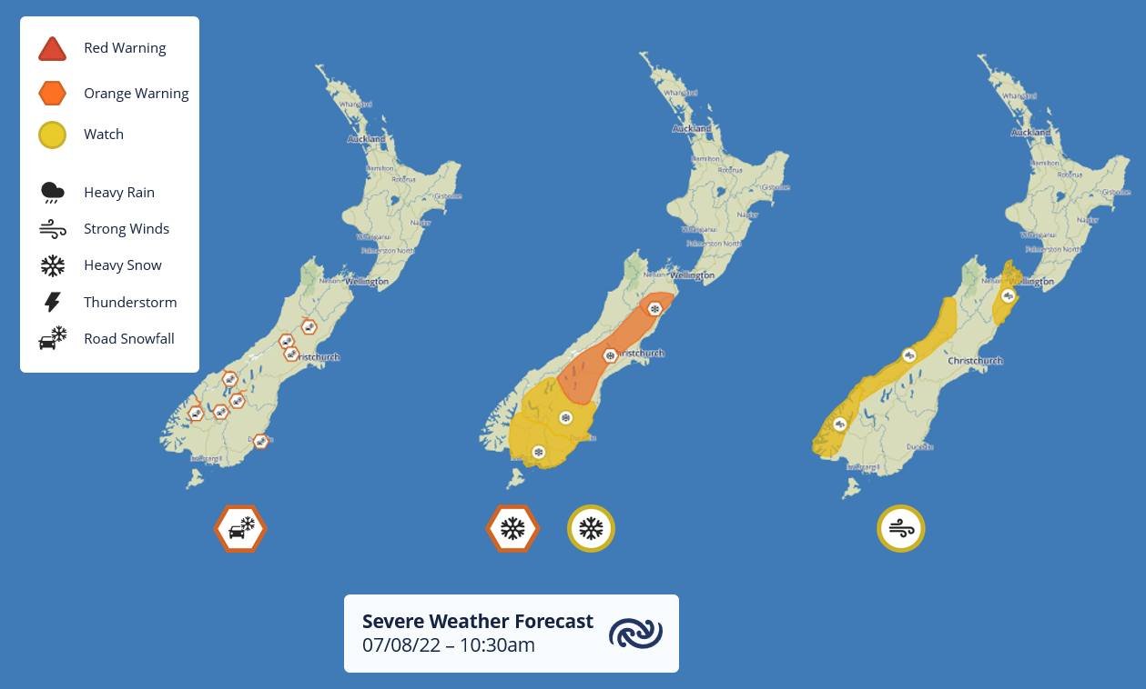
Heavy Snow Watches and Warning are in place for Otago, Southland and Canterbury.
The Metservice said snow could significantly affect travel.
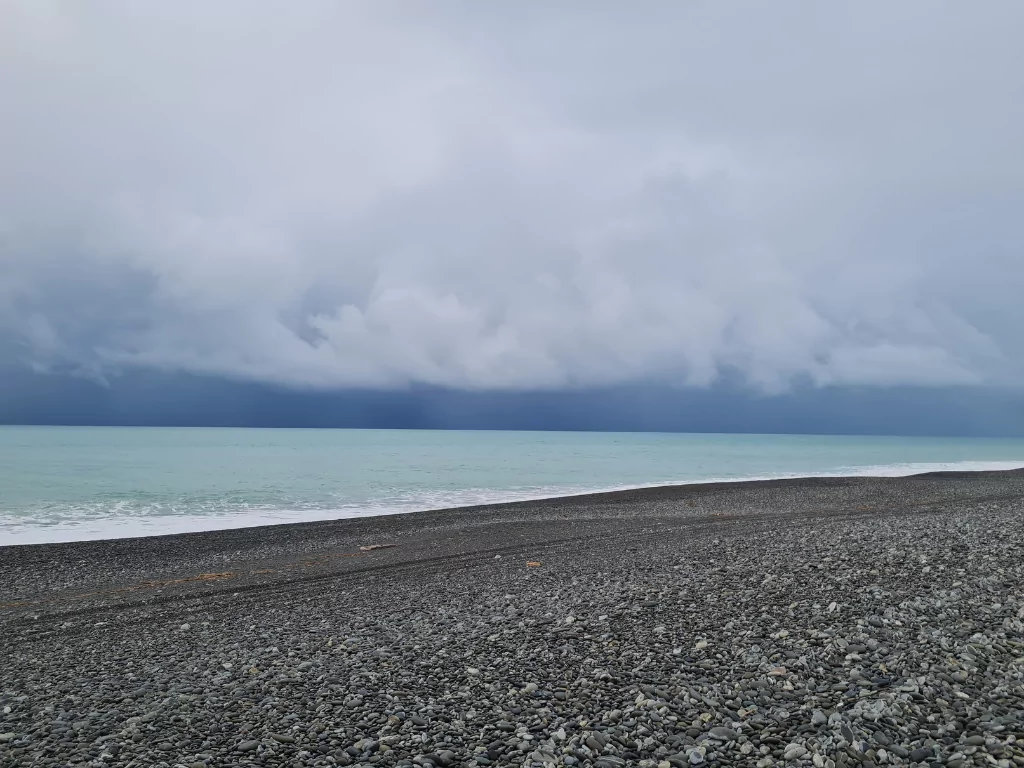
There were reports of snow to low levels in Otago and Southland.
Strong east to southeast winds are expected in western parts of the South Island and also Marlborough from this evening into tomorrow.
Graphic: Metservice
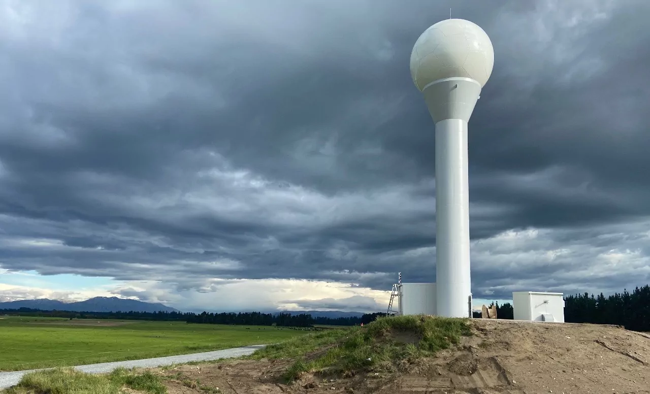
Blue Skies Weather said high pressure will build over the south of the South Island tonight, driving a very cold southeasterly airflow over Canterbury.
Airflow is expected to remain from the east and southeast through Thursday, easing on Friday.
This airflow will be very cold and damp with persistent low cloud and high humidity.
For farmers:
Expect a long period of bitterly cold temperatures accompanied by heavy cloud from later today through Thursday.
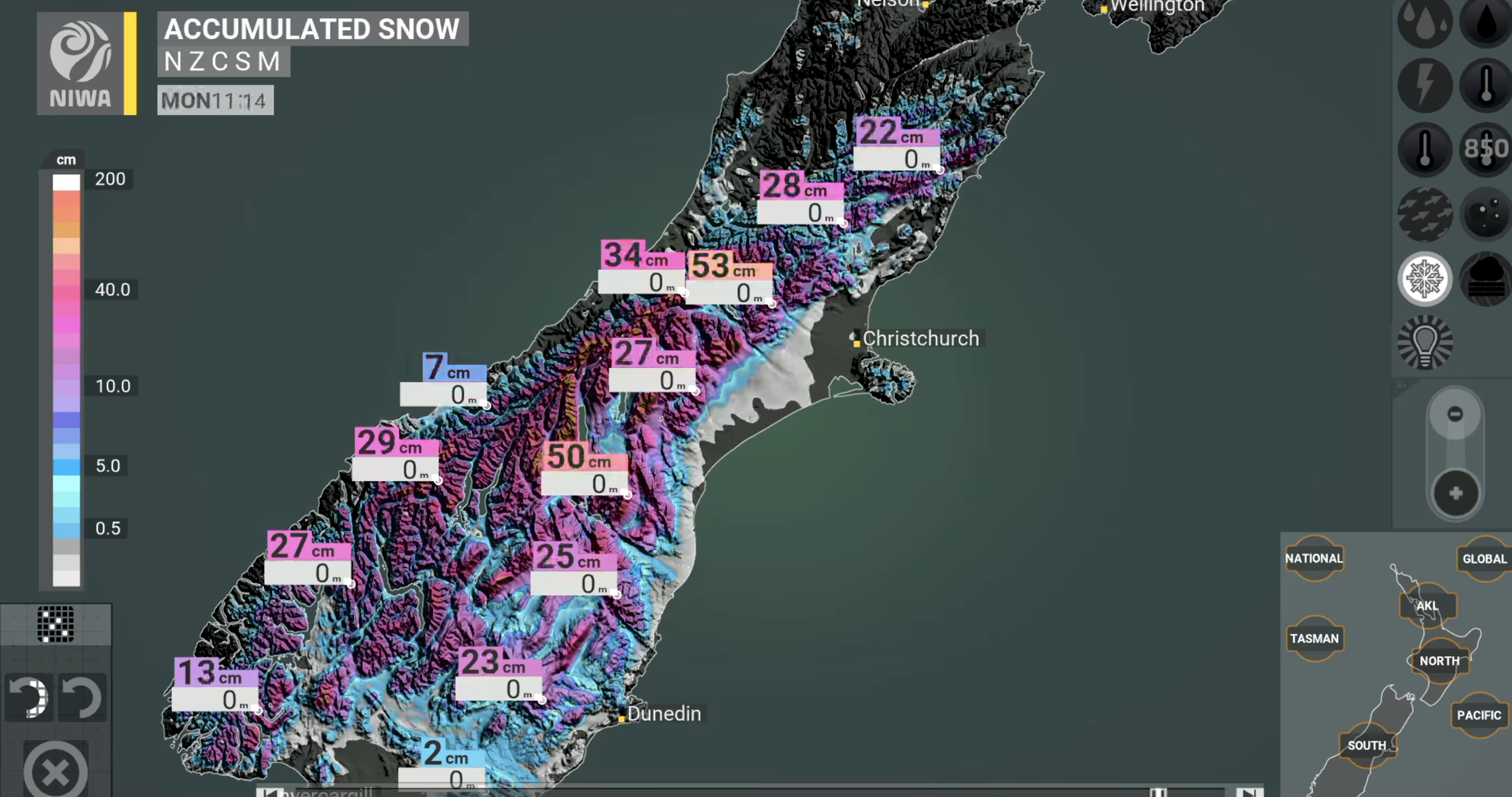
Snow accumulations may be significant above 300m, some light accumulations likely above 200m, and some brief falls to below 200m are possible but settling snow is unlikely.
This evening and night expect a period of snow, with 10-20cm of snow accumulating above 300m, and 3-5cm above 200m.
There may be some brief light accumulations below 200m down to near sea level.
Tomorrow and Tuesday expect some light snow showers above 200m, and sleet with occasional snow flurries possible below 200m.
Over the two days a further 3-5cm may accumulate above 300m, a further 1-3cm above 200m, but accumulations below 200m look unlikely.
Graphic: Niwa Weather
Another brief period of light snow flurries to low levels looks increasingly likely on Thursday, but with little if any accumulation on the ground.
Over 4-5 days total accumulations of 10-20cm are likely above 300m. Accumulations above 200m will fluctuate through the period but could total 5-10cm
Blue Skies Weather said this will be a stressful time for new-born lambs due to the long period of very cold temperatures and dampness.
For travellers:
Snow may affect roads on Banks Peninsula, and the high Plains and hill country, from this evening through tomorrow, easing on Tuesday. Disruption is possible during this time. There may also be some periods of disruption on the alpine passes, especially tonight.
Elsewhere
Snow flurries to low levels are likely in Otago today and tomorrow.
Snow will affect higher altitudes in Marlborough and also the eastern and central North Island tonight and tomorrow.