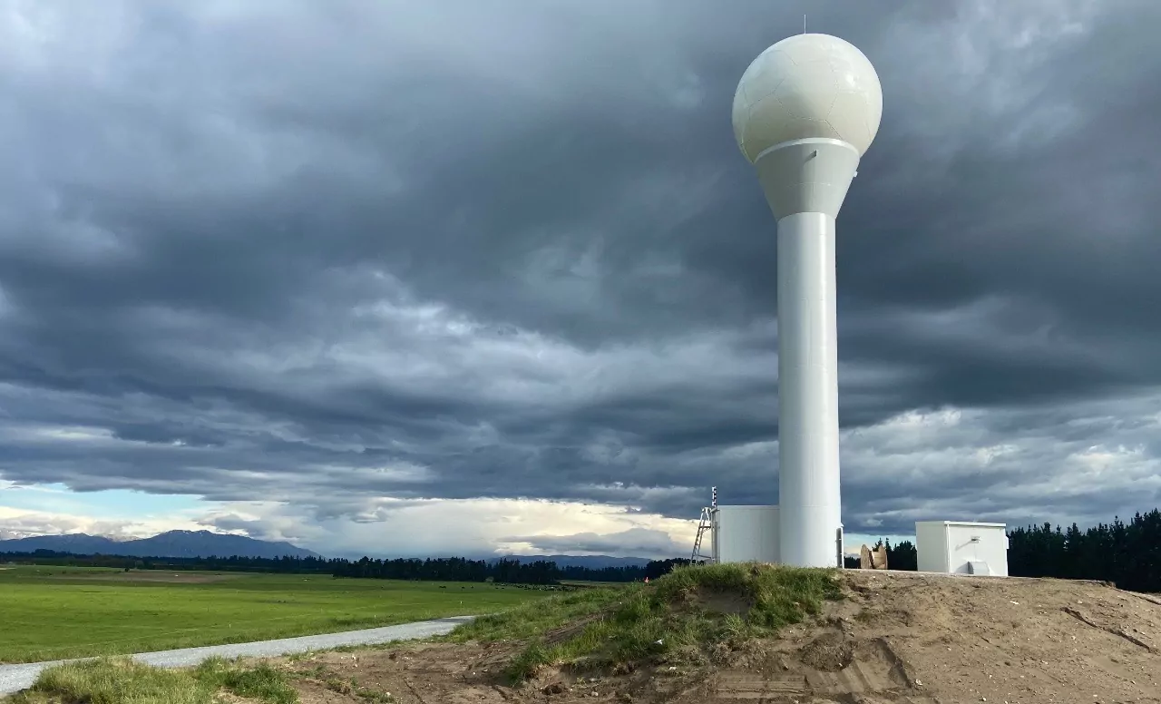
A well anticipated cold period begins later on Tuesday with the arrival of a very cold southerly airstream over Canterbury.
Blue Skies Weather is forecasting a period of snow to low levels likely later on Tuesday night and early Wednesday, then as the airstream tends more southwesterly during Wednesday, some light snow flurries may spread across the Plains later in the day.
A period of continual snow flurries to low levels will affect Banks Peninsula from Wednesday night through early Friday, while the weather in the rest of the region clears.
For farmers:
Expect 3-4 days of very cold temperatures starting later on Tuesday. Wind chills on Wednesday and Thursday will be significant. Significant night time frosts inland on Thursday night and widespread on Friday night. This cold period will be stressful for stock.
Across the region, on Tuesday night and early Wednesday expect accumulations of 5-10cm snow above 400m, 3-5cm above 300m, and 1-3cm above 200m. A further 1-3cm may accumulate to sea level during the day on Wednesday, especially in the afternoon and early evening near the coast and on the eastern Plains. Snow flurries should clear from most areas on Wednesday evening.
On Banks Peninsula, and possibly also the Port Hills, expect a further 5-10cm accumulating above 200m from Wednesday night through early Friday morning, with occasional flurries to near sea level.
For travellers:
Snow may affect roads on the western Plains and hill country early on Wednesday morning, and possibly also on Banks Peninsula and Christchurch’s Port Hills. Further snow flurries later in the day across the Plains and Peninsula to sea level may accumulate briefly.
On Banks Peninsula a sustained period of snow flurries above 200m (and occasional falls lower) from Wednesday evening through early Friday is likely to affect roads.
Elsewhere
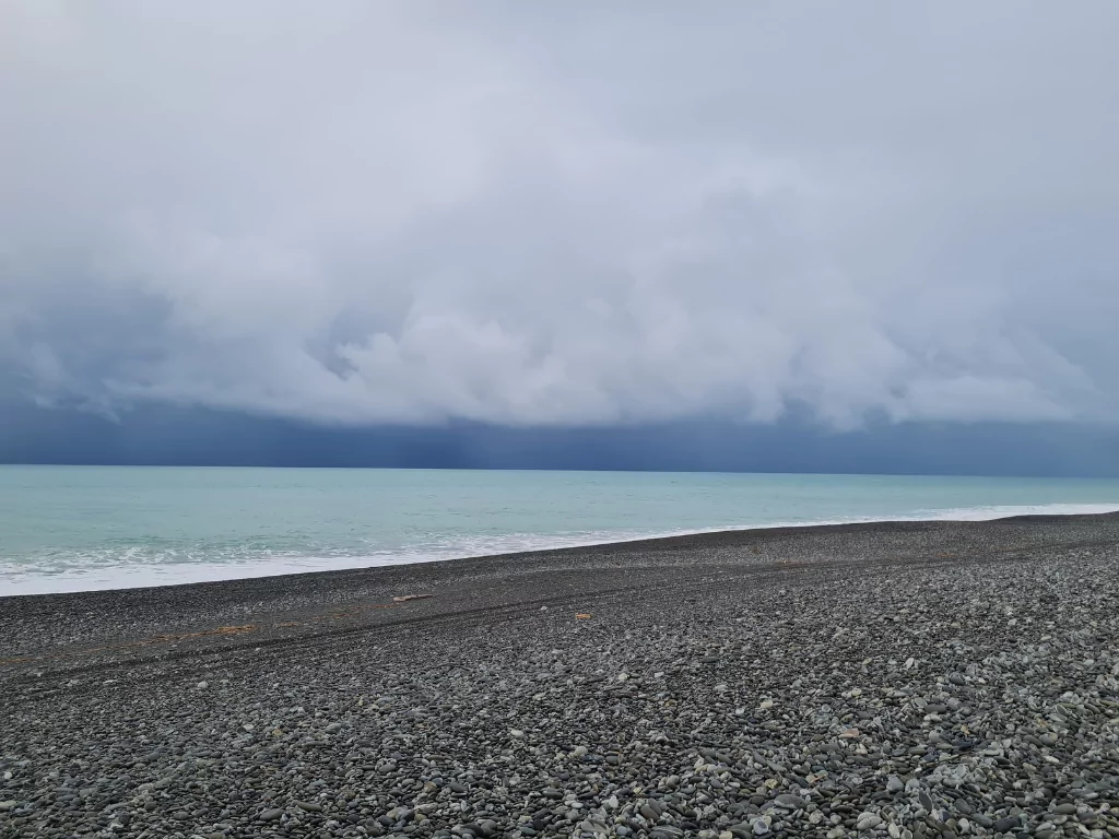
Snow flurries to low levels are likely to sea level in Otago on Wednesday and strong to near gale southwesterly winds around the coast.
Snow will fall above 200m in Marlborough on Wednesday then clearing.
Snow flurries above 300m in much of the southern and central North Island on Wednesday night and Thursday, with falls possible to below 200m in Wellington and southern Wairarapa. Transport may be affected.