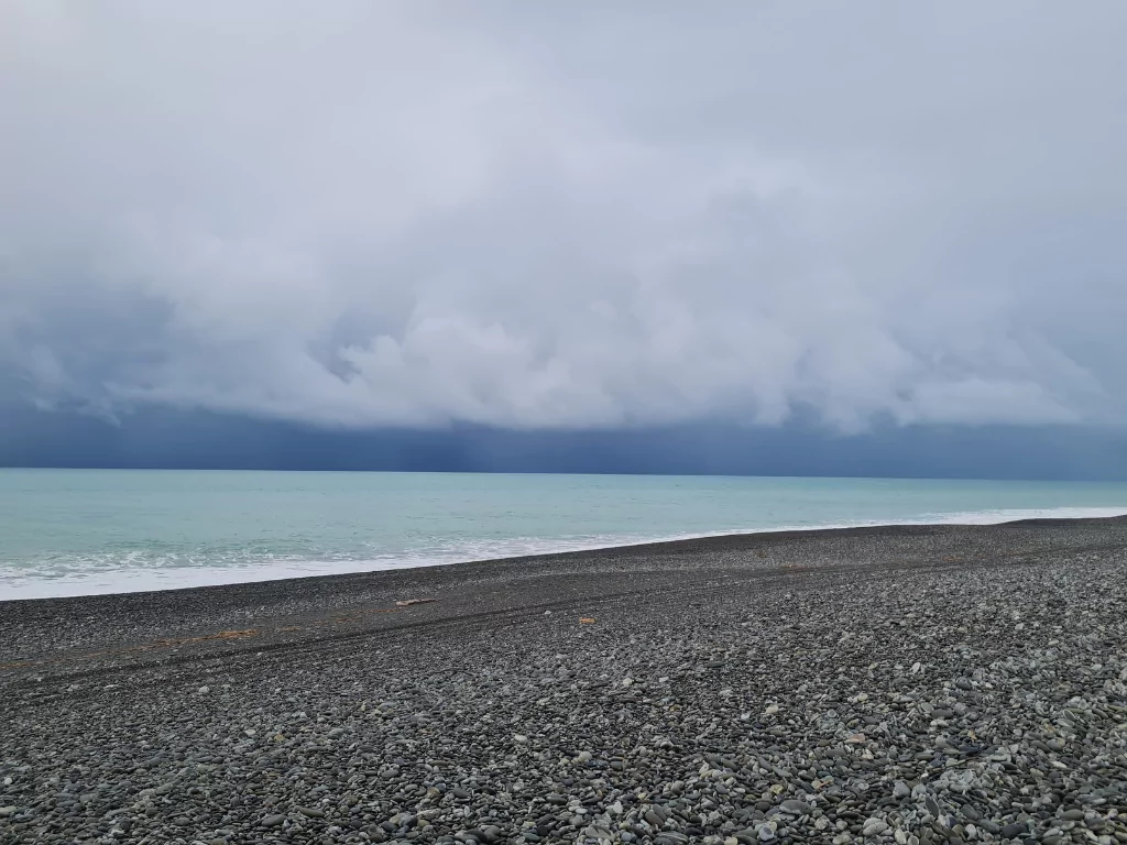
The Buller Emergency Operations Centre has been activated in anticipation of bad weather.
Civil Defence Regional Director Claire Brown is asking people to keep up to date with the ongoing warnings that will be issued over the coming days.
“We are fully preparing for the coming weather event by formally activating the Emergency Operations Centre with a view of ramping operations up tomorrow.”
Buller District Council’s Infrastructure Services Team have instructed contractors to prepare drains and creeks, flood flaps, sewer pump stations, stormwater sites for pumping.
Sandbags are being delivered to residents.
From overnight tonight and continuing right up to Thursday evening, northern and western parts of the South Island will be pummeled by heavy rain, with accumulations expected to exceed 500mm in places! This will be a significant event, https://t.co/qHyE5zzql5 for full details ^DM pic.twitter.com/dEr8FafsrY
— MetService (@MetService) August 14, 2022
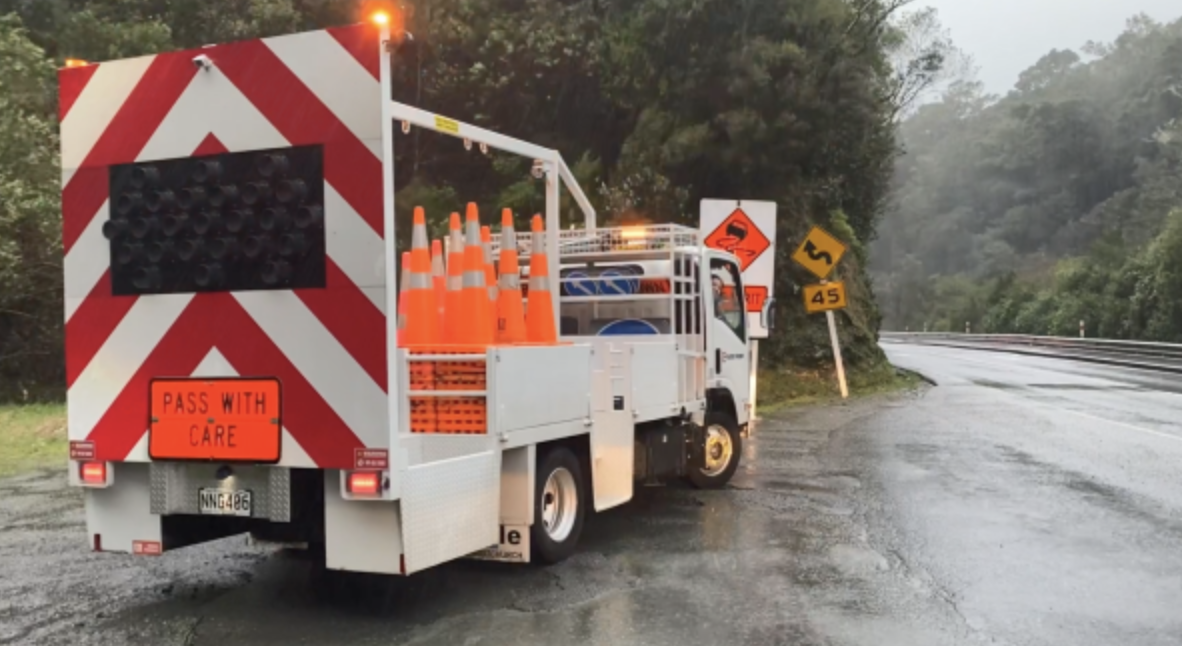
NZTA said with more rain forecast for the top of the South Island this week, it’s urging road users to be alert and be prepared in case road closures occur.
The Metservice has issued a heavy rain warning for the Buller region, and the western areas of the Tasman district.
A heavy rain watch is also in force for Nelson, Tasman, and the Marlborough Sounds.
⚠️ A long-lived atmospheric river (AR) will make landfall in the South Island on Tuesday, intensify Wednesday-Thursday & last into the weekend.
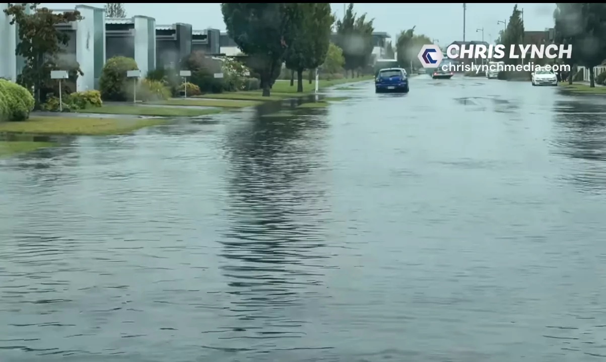
This will lead to flooding, slips & washouts with well over a month’s worth of rain, especially in the northern & western South Island. pic.twitter.com/sNvE5T2jk9
— NIWA Weather (@NiwaWeather) August 15, 2022
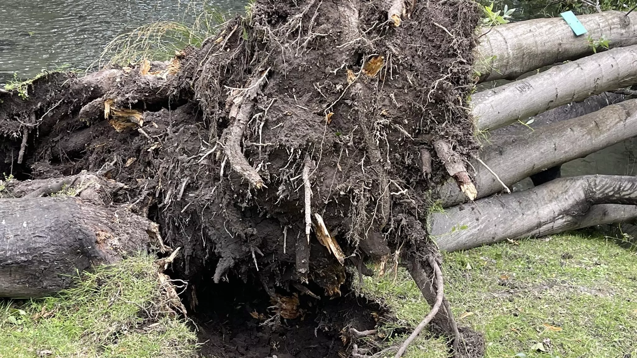
“All these areas have had a lot of rain this winter, increasing the risk of tree falls, slips, and rockfalls. More wet weather means more chances of such events occurring this week.
Contractors will be on call to fix problems. But road users need to be aware bad weather could create issues on the state highway network in these areas.”
